GNSS and RTK workflows continue to move toward cloud-connected field teams
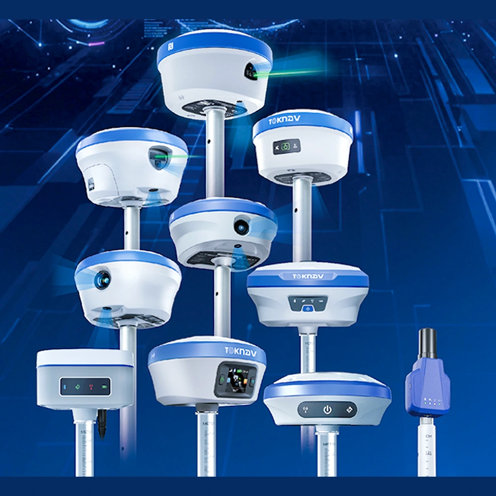
Industry buyers are watching RTK receivers, correction services and field software become more connected across surveying and construction workflows.
Source LinkShort, easy-to-read updates for surveying, mapping, construction, machine control and positioning buyers.
Industry buyers are watching RTK receivers, correction services and field software become more connected across surveying and construction workflows.
Source Link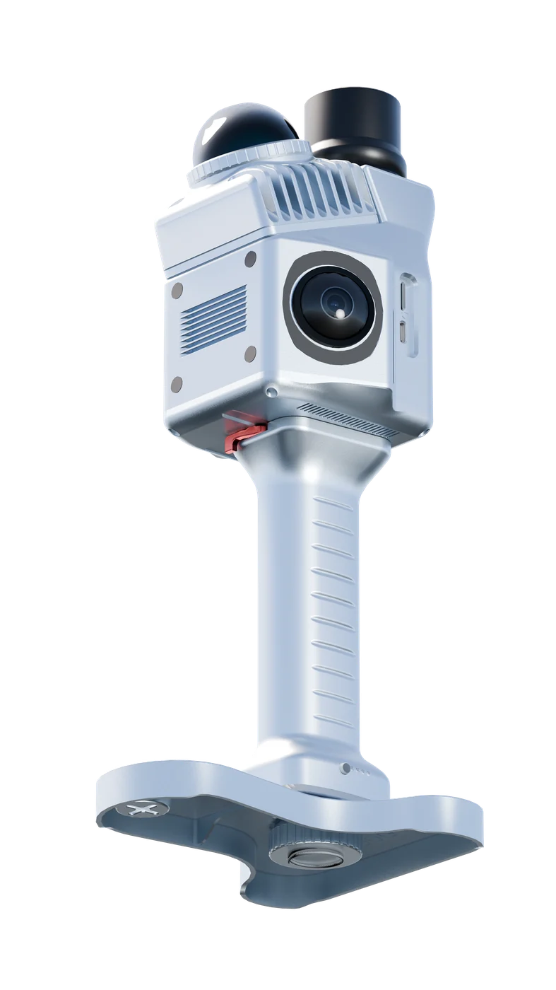
LiDAR scanning, reality capture and drone mapping are practical tools for project inspection, digital twins and faster field documentation.
Source Link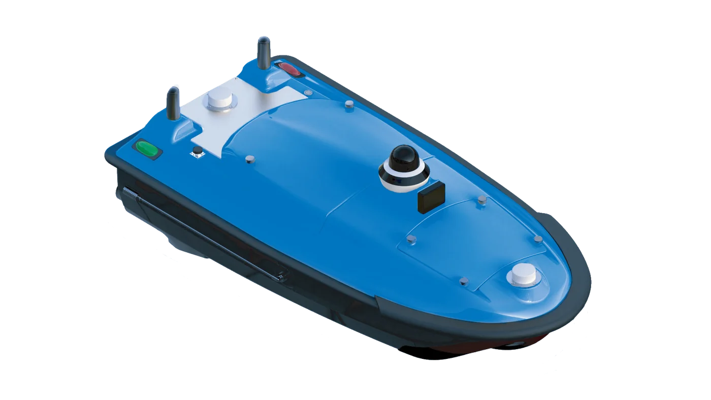
Unmanned surface vessels can help teams collect bathymetry and water-monitoring data while reducing manual work in difficult water environments.
Source Link